TITLE:
Metric 3D system for digitalization, modelling and analysis of geometry of the built environment
DESCRIPTION:
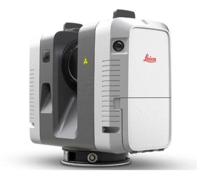
Metric 3D system consists of the following components:
  • Measuring instrument,
  • measuring accessories and
  • software for field work and post-processing of data.
Metric 3D system RTC360 designed by the Swiss manufacturer Leica Geosystems is currently the most productively-precise static laser scanner available. Its technical specifications enable its use in a wide range of interest areas from civil engineering and architecture to industry, cultural heritage, BIM modelling, building renovation and reconstruction, forensics etc. The instrument operates in the range of 0.5 m - 130 m and has a very high data acquisition speed and measuring precision. It also provides high quality photographic material which can be used as an additional source of information in the process of monitoring buildings and infrastructure. Moreover, the instrument operates via a highly automatized fieldwork protocol which allows for great efficiency when performing the measurements. Finally, the post-processing software also ensures the availability of a broad spectrum of functionalities for data analysis and the preparation of final results.

Accessing the metric 3D system is possible by forward agreement with the price of the rent depending on the project requirements.
PURCHASE DATE:
15.07.2021
IMAGES: